")
")
 Simulace protierozních opatření v erozně ohrožených oblastech pomocí modelu EROSION 3D v severně od Kirnitzschtalu, Sasko
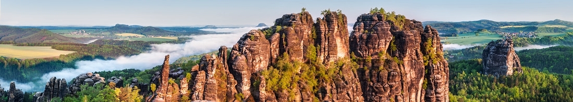
The Kirnitzschtal valley in the Saxon Switzerland National Park is an area prone to erosion due to its topography with steep slopes and overlying plains used for agriculture. The erosion caused by heavy rainfall manifests itself in an extensive soil erosion of the cultivated agricultural land on the upper slopes and flows into a mudflow in the areas of the steep slopes. Large masses of water thus repeatedly cause a high sediment erosion in the valley. This regularly leads to damage to the infrastructure and to silting up of roads. A modelling of soil erosion in a study area with an area of 83.3 ha using the EROSION 3D (E3D) model shows a net discharge of 6.85 t ha-1 for a single heavy rainfall event with a precipitation peak of 1.65 mm min-1. This corresponds to a mean soil erosion of 0.5 mm. The erosion control measures modelled at prominent, particularly erosion-prone locations show a predominantly positive effect on the sediment balance and ensure a reduction of the erosion phenomena that occur. Using arable land conversions in grassland, the sediment discharge can be reduced by 57 – 89 %, by wooded strips by 11 – 100 %, by retention troughs by 69 – 100 % and by retention basins by 43 – 68 %. Combinations of measures derived from individual measures are designed to be more effective and achieve a reduction of 75 – 100 %. The erosion protection potential results from the size of the areas used for the measures and the thickness of the structures.
- Jste zde:
-
Titulní stránka

-
Ke stažení
- Simulace protierozních opatření v erozně ohrožených oblastech pomocí modelu EROSION 3D v severně od Kirnitzschtalu, Sasko